Your logbook, charted.
Charts and logbook in one app, for sailors and motorboaters.
Your helpers on board.
- WP 0153°52.0′N 008°42.0′E
Nautical charts1
Charts based on official hydrographic data. Plan the route, check the depths, find anchorages.
- WP 0253°54.0′N 008°33.0′E
Personal logbook
Every trip recorded as you go: track, distance, times, notes. Your logbook without the paperwork.
- WP 0353°57.0′N 008°21.0′E
Boating dashboard
Length, beam, draft, air draft, call sign and engine power. Everything about your boat on one screen.
- WP 0454°00.0′N 008°12.0′E
Document storage
Registration, insurance, licences and manuals on board with you. Found in seconds when someone asks.
- WP 0554°03.0′N 008°06.0′E
Task list
Winterising, antifouling, the rigging check before the first trip. What the boat needs, in one list.
- WP 0754°11.0′N 007°53.0′E
Passage patron3
One link for those waiting at home: position and course live on the chart, so they know you are well.
Be aboard first.
Want to test the beta? Send us a short email and we'll get back to you as soon as it starts.
Not on board yet.
- WP 08Planned
Weather & wind overlay
Watch the weather right on the chart: wind, gusts and pressure, hour by hour. See what it does to your route before you cast off.
- WP 09Planned
Tides & tidal streams
High and low water, tidal range and streams for the harbours and waters along your route. Know when there's enough water under the keel.
- WP 10Planned
NMEA over Wi-Fi integration
Depth, wind and speed through the water from your onboard instruments, over Wi-Fi. Straight into the dashboard and the logbook.
- WP 11Planned
Harbour guide
Berths, facilities, fuel and contacts for the harbours along your route. Know what's waiting before you make fast.
- WP 12Planned
xLog Community
A great photo or video of the boat next to you? If they have xLog on board too, send it straight to their crew through the app.
And always more to come.
All of Europe, one area at a time.
Charted at launch: the coastal waters of 19 countries from Iceland to Türkiye, and the inland waterways from the Rhine to the Danube. The rest of Europe's waters will follow.
At launch
Planned
Who's at the helm.
Father and son: two founders who write the code themselves and take it out on the water together.
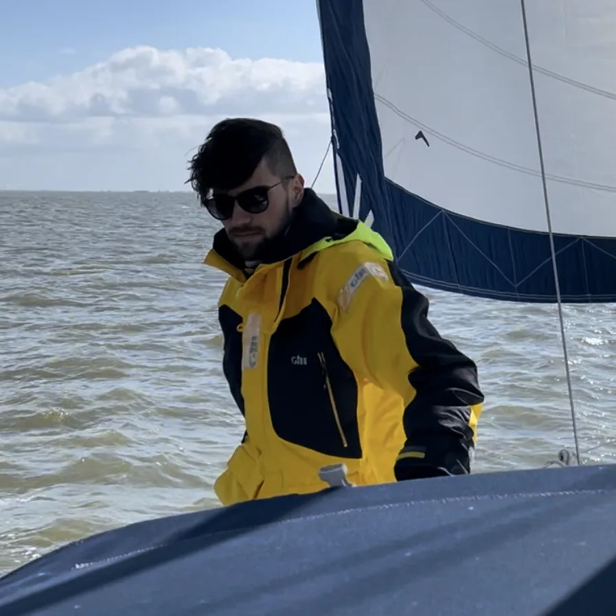 Crew 01
Luis Möller
- Founder
- Developer
- Sailor
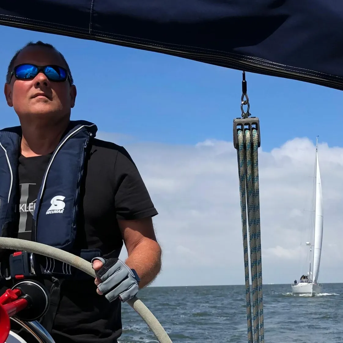 Crew 02
Frank Möller
- Founder
- Developer
- Sailor